Big Mountain Road
Start at the base of Big Mountain Road and climb to the Village of Whitefish Mountain Resort. Once you start, the road climbs consistently for about 5 miles. Turn around in the village or add an additional 1.5 miles of steep climbing by turning on the Elk Highlands Road. Elk Highlands and Northern Lights will loop back together with the highest point being at the top of Chair 3 and the Home Again Bridge. After all the climbing is done, there is nothing more to do than to enjoy a 5 mile paved descent with views of the Flathead Valley extending on a clear day from Flathead Lake to Great Northern Mountain. There is a wide shoulder on the new section of Big Mountain Road about 2 miles from the start of the ride.
Whitefish To North End Of Whitefish Lake Route
An out and back all paved route starting from the center of Whitefish to the northern end of Whitefish Lake. The narrow paved route follows the lake until it ends on the west side of the lake near the railroad tracks. This scenic ride is approximately 20 miles depending on your starting point.
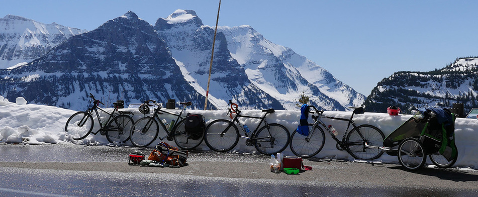
Going-To-The-Sun Road
Possibly one of the Nation’s most amazing roadways and is shared with vehicles and cyclists. This spectacular road maps out a 50-mile path through the middle of Glacier National Park. In addition to crossing the Continental Divide it also travels along the shores of Lake McDonald on the west side and St. Mary’s Lake on the eastern side of Logan Pass. Bicyclists have numerous opportunities to stop and enjoy the views.
The Going-to-the-Sun Highway route officially begins in two separate places. The long route begins at Apgar Campground and ends at the top of the Continental Divide at Logan Pass. The shorter route begins at Logan Creek and also ends at Logan Pass.
Moon Light Rides are allowed on full moons in the summer and are simply spectacular. Many cyclists enjoy the "ride" from Logan Pass down the Going-to-the-Sun Highway.
North Fork Road Route
This 23-mile moderate road ride will take riders out and back on the North Fork Highway #486 just north of Columbia Falls. The road parallels national forest lands to the west and the designated Wild and Scenic North Fork of The Flathead River to the east, which forms the boundary of Glacier National Park above it's confluence with the Middle Fork of The Flathead River. The road eventually turns to gravel and provides a natural turn around spot. There is a wonderful piped spring shooting out of the hills and is considered some of the best drinking water around – perfect treat on a hot summer days ride.
Lake Kookanusa Route
This 80-mile loop ride is arguably one of the best road riding opportunities in Northwestern Montana. When the government created Libby Dam in 1972, they flooded towns and the whole Kootenai River Valley. The monster of a lake created now extends 90 miles upstream with 48 miles in the U.S. and 42 miles in Canada. Without knowing it, the Corps also created a road cyclist's dream. The scenic vistas and dramatic drops to the waters edge make it hard to keep your eyes on the road.
The West Side Road is the old road where there is less traffic for cyclists to enjoy. The East Side Road is the newer road with wider shoulders but more traffic uses this side since it is the newer road bed.
The West Side Road is the old road where there is less traffic for cyclists to enjoy. The East Side Road is the newer road with wider shoulders but more traffic uses this side since it is the newer road bed.
Other Local Road Routes:
- Star Meadows Road
- Farm-to-Market Road


